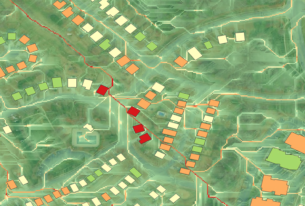
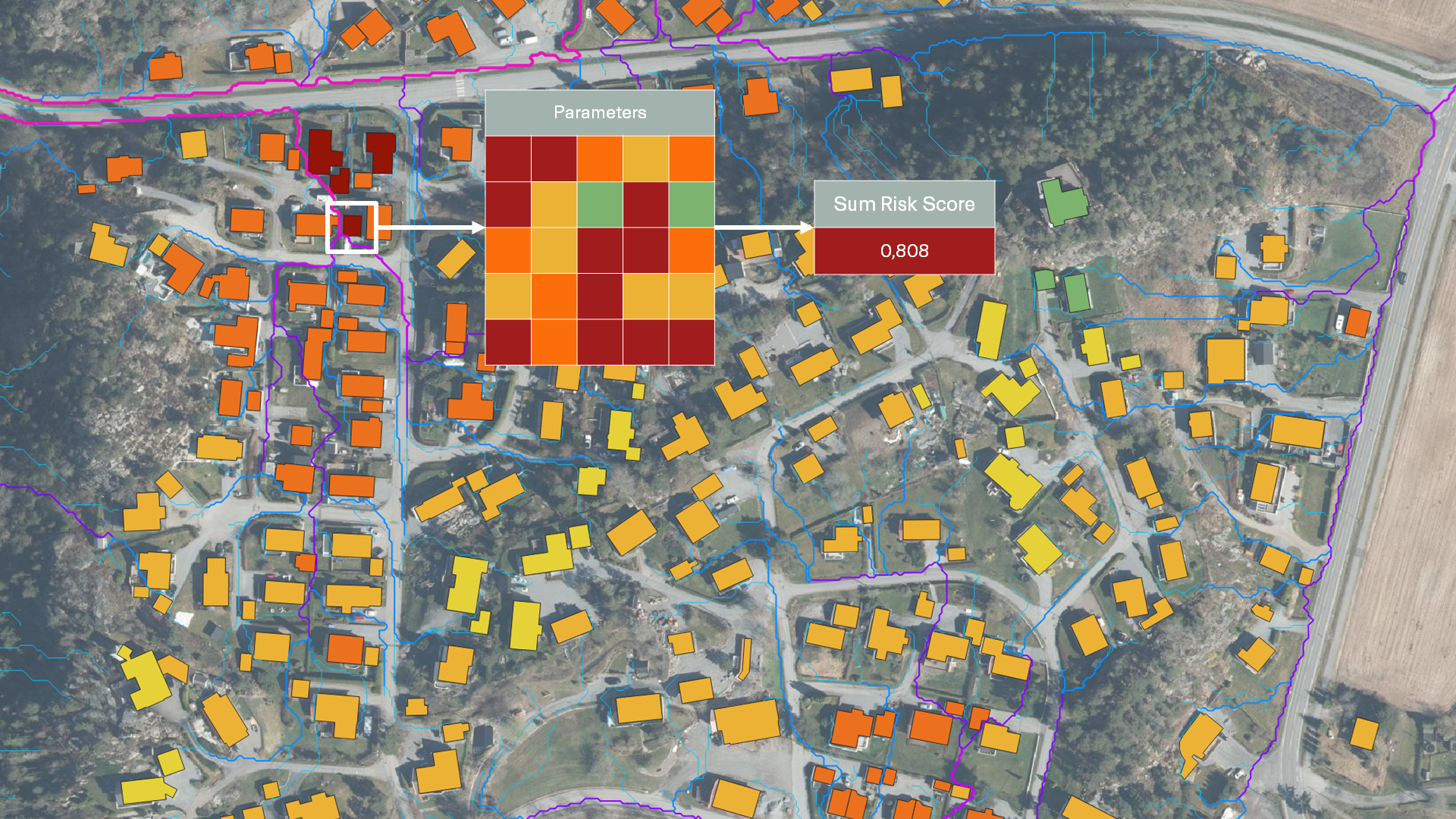
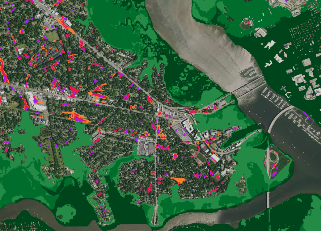
1×1 meter accuracy ensuring reliable local risk identification
What is different about our approach?
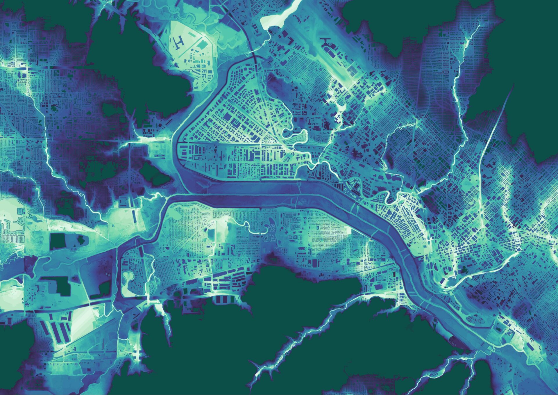
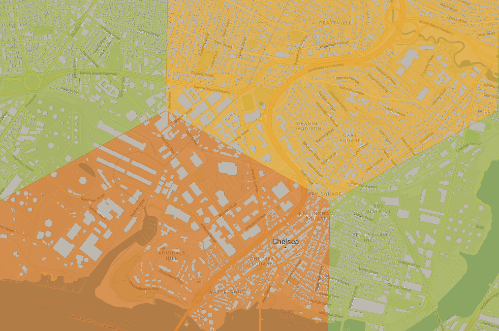
Resolution

Input data update
Always updated with new terrain, land-use, and infrastructure data

Claims training
Designed for easy integration into existing workflows
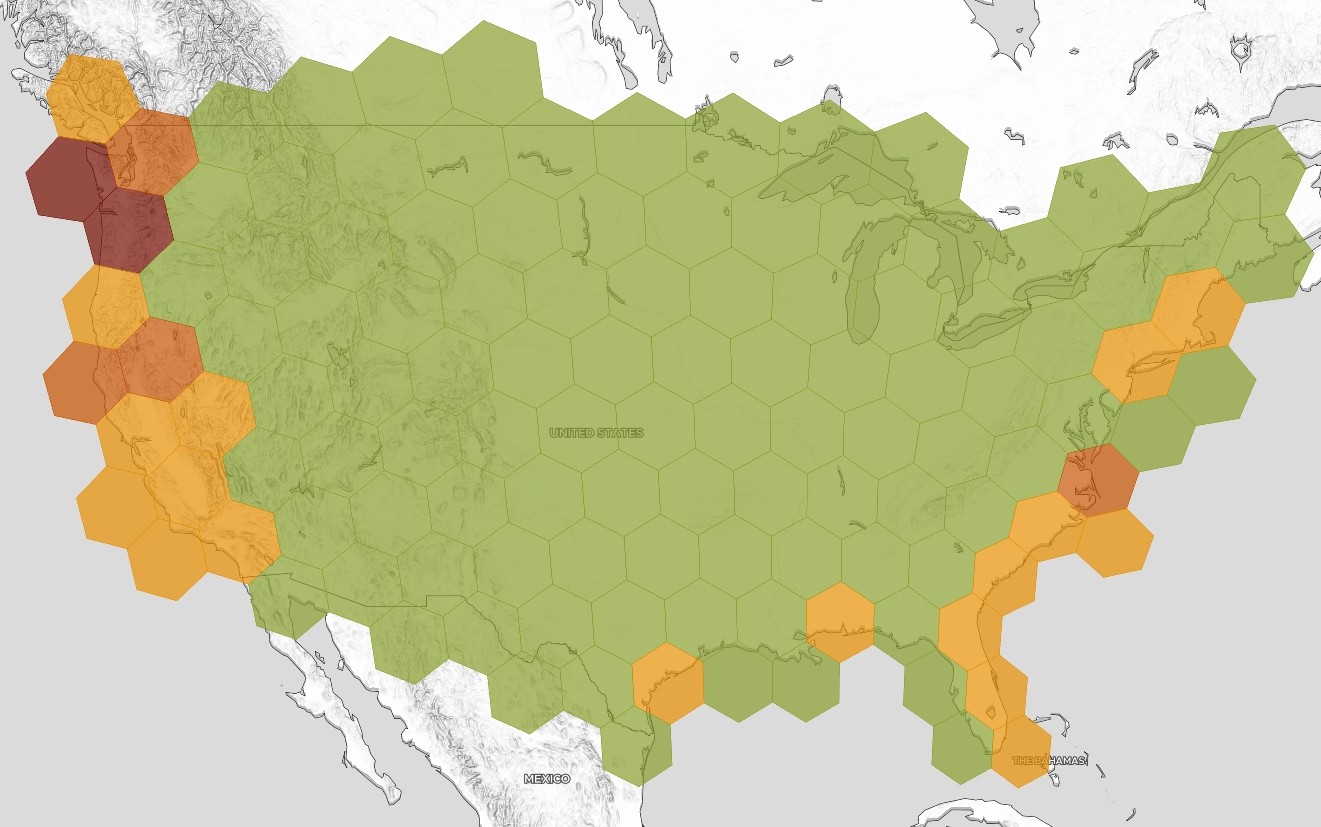
Know your locations
Our Hazard Maps set a new benchmark for understanding and managing flood exposure.
Developed by 7Analytics’ team of hydrologists, geologists, and data scientists, they provide a precise, up-to-date view of how water interacts with the landscape—helping insurers, banks, and asset owners make confident, data-driven decisions.
7Analytics power your smart flood risk work with a unique Hazard Map:
- Traditional hazard maps rely heavily on static input data, which means they struggle to capture how today’s built environment and climate dynamics influence risk. 7Analytics takes a much more granular approach.
- With 1×1 meter resolution, our Hazard Maps identify micro-level variations—such as curbs, embankments, or drainage infrastructure—that can make the difference between minor surface water accumulation and significant flood damage. Updated continuously with the latest digital elevation and infrastructure data, the maps stay accurate even as urban landscapes evolve.

The result is an evolving, updated view of physical risk. Whether used for underwriting, exposure management, credit assessment, or infrastructure planning, our Hazard Maps provide the transparency and precision needed to quantify and mitigate risk effectively.
By integrating our maps into your workflow, you gain actionable insight—not just where flooding has occurred before, but where it will likely occur next.
Features
What some of our
partners are saying
-

Scott Gunther IAG Firemark Ventures General Partner
Access to real-time, data-driven insights enables insurers to better support customers in understanding and mitigating their risks
-

Daniel Middleton Strand, Head of Pricing Methods at Fremtind Insurance
With 7Analytics, we get highly precise, property-level flood risk data that allows us to underwrite with confidence and apply risk-reflective pricing – even in dense urban environments.
-

Tore Tenold, CEO of KLP Insurance
7Analytics’ innovative flood risk model nicely supplements our existing risk modelling and deepens our understanding of the risk landscape ahead
-

Håkon Hommerstad-Tveit, Head of Product, Data, and Analytics at JBF Insurance
Our collaboration with 7Analytics will not just improve our flood risk assessments but also actively prevent damage and protect our customers’ interests
Use cases
- Pricing new customers more accurately to maximize their profitability
- Renewing existing high-risk customers at higher prices or cross-subsidizing them through lower-risk customers
- Supporting existing customers whose flood risk is high through risk prevention
- Protect sites and inventory before water levels rise
- Reroute supplies, staff, and customers to ensure business continuity
- Communicate effectively with employees, clients, and stakeholders
- Actionable early warning –Push site-specific alerts to clients.
- Data-driven incentives – Offer discounts for resilience initiatives that bring down risk
- Capital efficiency –Reinsurance capital buffers savings
- Event validation independent of historical flood data
- 1×1 meter frequently updated data reflecting real-world changes
- Verified insight for post-event assessment and model calibration
Improve underwriting profitability and price pluvial flood risk more accurately
By using our data, losses due to flooding will be significantly reduced over the next few years by:
Business continuity: Keep sites and operations safe when floods are creeping up
7Analytics’ real-time forecasting and monitoring solution translates data into action, by empowering businesses to:
Bring down flood claims with early warning solutions
Use our data for damage prevention to bring advanced flood modelling to policy-holders in real-time. As insurer, you will get:
Independent flood event validation powered by 1×1 m models with up-to-date input data
Tricker payout and compare claims with modelled flood depths on a building-by-building basis: