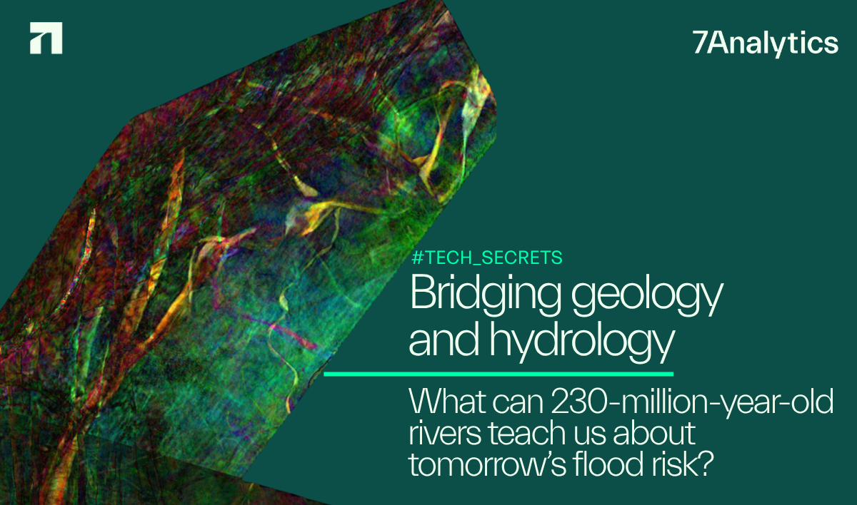
What can 230-million-year-old rivers teach us about tomorrow’s flood risk?
Meet Jonas who digs deep in this career as a geologist to share how it brings value to current day flood modelling:
“Fifteen years ago, I studied ancient river systems in the Arctic Sea as part of a petroleum geology thesis. The goal was simple: find better reservoirs.”, says Jonas, who besides being a geologist by training also is our Chief Commercial Officer. He continues:
“I didn’t expect that work to later connect to something as urgent as flood modelling. But today, that connection feels obvious.”
Using seismic analysis, we can map ancient river systems in remarkable detail — including one of the largest ever discovered: a 1.65 million km² delta plain from the Triassic period. These preserved channels are not just geological curiosities — they are records of how rivers behave over millions of years.
“And that’s where it gets interesting”, boasts Jonas with a spark in his eye.
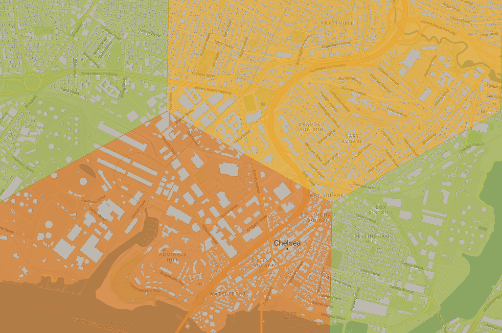
Modern flood models rely heavily on historical data — often just 50–100 years. Yet we use them to predict 200-, 500-, even 1000-year events.
That’s a fundamental limitation.
Ancient sedimentary systems offer something different:
They capture thousands of flood cycles, channel shifts, and sediment processes over geological time.
Not as a replacement for modern data — but as a powerful complement.
Bridging geology and hydrology opens up new possibilities:
• Better calibration of channel geometry
• Improved understanding of floodplain dynamics
• More robust scaling of extreme events
• Stronger physical grounding beyond short observation records
There’s a certain irony here:
Decades of petroleum exploration have unintentionally created one of the richest datasets for understanding river behavior at scale.
Read article here

Jonas Aas Torland
CCO & Co-Founder